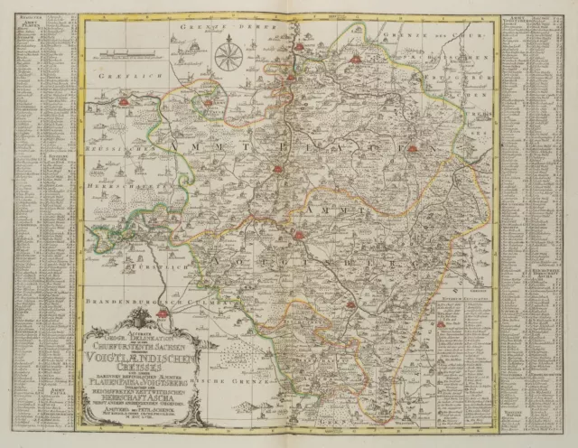
VINDEL (18.Jhd) nach SCHENK (*1660), Kurfürstentum Sachsen. Vogtland, 1758, KSt
EUR 300,00 Sofort-Kaufen oder Preisvorschlag, Kostenloser Versand, eBay-Käuferschutz
Verkäufer:  buchprojekt1 ✉️ (10.863) 100%,
Artikelstandort: Frankfurt am Main, DE,
Versand nach: WORLDWIDE,
Artikelnummer: 115896363486
VINDEL (18.Jhd) nach SCHENK (*1660), Kurfürstentum Sachsen. Vogtland, 1758, KSt.
Gemälde
Zeichnungen
Aquarelle
Druckgraphiken
Skulpturen
Bücher
Dekoratives
Landkarten
Fotografie
For international customers outside the European Union: eBay will charge an "Internet Sales Tax". As of January 1, 2020, 38 states in the US, Australia and New Zealand require the collection of sales tax. Further states and countries may be included in this procedure. In such cases, eBay collects and remits Internet Sales Tax on your behalf. In these states, the way taxable transactions are processed, is as follows: 1. In states where eBay is required to collect Internet Sales Tax from buyers, order totals sent for processing will reflect the gross order amount inclusive of tax, if your shipping location is in one of these countries. The tax rate varies from state to state. 2. Once settled, the tax amount will be automatically deducted for remittance to the applicable taxing authority. This tax is to be paid by the buyer. Each state’s legislation dictates if shipping and handling are taxable or not. In those states where eBay is collecting tax, the tax on shipping and handling will be collected where applicable.
Furhter information can be found at this eBay customer service page . Über 13.000 antike
Kunstwerke im Shop Kostenloser Paket-
Versand in der BRD Sichere Verpackung
mit Knickschutz Kostenlose Rückgabe
1 Monat lang
DreamRobot
Shop-Kategorien
- Gemälde
- Zeichnungen
- Aquarelle
- Druckgraphiken
- Skulpturen
- Bücher
- Dekoratives
- Landkarten
- Fotografie
- Sonstiges
Nach Motiv
- Abstrakt
- Architektur & Stadt
- Diverses
- Genre
- Historie
- Jagdmotive
- Landschaft
- Militär
- Mode
- Mythologie
- Märchen
- Personen
- Pflanzen
- Religion
- Seefahrt
- Tiere
- Transport
- Karikatur
Informationen
- Startseite
- Über uns
- Schließen Weiter
- Schließen Zurück Weiter
- Schließen Zurück Weiter
- Schließen Zurück Weiter
VINDEL (18.Jhd) nach SCHENK (*1660), Kurfürstentum Sachsen. Vogtland, 1758, KSt
300.00 EUR*
*inkl. MwSt. (Differenzbesteuerung gem. §25a UStG, Kunstgegenstände/Sonderregelung)
Kostenloser Versand innerhalb Deutschlands
- kostenloser Versand innerhalb Deutschlands
- besonders sichere Verpackung
- 1 Monat Rückgaberecht
- kostenloser Rückversand
- Technik: Handkolorierter Kupferstich auf Papier
- Bezeichnung: Unten links datiert: "MDCCLVIII". Unten links im Druck bezeichnet: "Accurate Geographische Delineation derer in dem Churfürstenthum Sachsen gehörigen Voigländischen Creisses und derer darinnen befindlichen Aemmter Plauenpausa u. Voigtsberg ingleichen der Reichsfreyen zettwitzischen Herrschaft Ascha nebst anderen angrenzenden Gegenden. Amsterd. bey Petr. Schenck mit königl. u. churf. Saechs. Privilegio. ".
- Datierung: 1758
- Beschreibung: Mit Ornament geschmückter Titelkartusche und Ortsregister an den Seiten
- Schlagworte: Topografie; Geografie; historische Quelle; Landvermessung; Kurfürstentum Sachsen; Kursachsen; Vogtland, Landkarten, Historie, Deutschland, Barock, 1750-1799
- Größe: Papier: 55.0 cm x 67.7 cm, Druckplatte: 47.6 cm x 63.0 cm, Darstellung: 47.0 cm x 61.8 cm
- Zustand: Guter Zustand. Altersbedingt leicht verfärbt und leicht fleckig, insbesondere um die Blattränder. Die senkrecht über die Mitte gefaltete Karte wurde aus einer Bindung entnommen und trägt verso noch Klebereste. Mit leichter Wellung zur Mittelfalz.
English Version:
August Vindel (18th century) after Peter Schenk (1660 Elberfeld - around 1778 Amsterdam), Topographical Map "Accurate Geographical Delineation of the Voigland Creisses Belonging to the Electorate of Saxony", 1758, Copper engraving
- Technique: Hand colored Copper engraving on Paper
- Inscription: lower left inscribed in the printing plate: "Accurate Geographische Delineation derer in dem Churfürstenthum Sachsen gehörigen Voigländischen Creisses und derer darinnen befindlichen Aemmter Plauenpausa u. Voigtsberg ingleichen der Reichsfreyen zettwitzischen Herrschaft Ascha nebst anderen angrenzenden Gegenden. Amsterd. bey Petr. Schenck mit königl. u. churf. Saechs. Privilegio. ". lower left dated: "MDCCLVIII".
- Date: 1758
- Description: Title cartouche decorated with ornament and place index on the sides
- Keywords: Topography; Geography; Historical source; Land survey; Electorate of Saxony; Electoral Saxony; Vogtland, 18th century, Baroque, Maps, Germany,
- Size: Paper: 55.0 cm x 67.7 cm (21.7 x 26.7 in), Plate: 47.6 cm x 63.0 cm (18.7 x 24.8 in), Depiction: 47.0 cm x 61.8 cm (18.5 x 24.3 in)
- Condition: Good condition. Slightly discoloured due to age and slightly stained, especially around the margins. The map folded vertically across the centre was removed from a binding and still bears glue residues on verso. With slight waviness to the centrefold.
For international customers outside the European Union: eBay will charge an "Internet Sales Tax". As of January 1, 2020, 38 states in the US, Australia and New Zealand require the collection of sales tax. Further states and countries may be included in this procedure. In such cases, eBay collects and remits Internet Sales Tax on your behalf. In these states, the way taxable transactions are processed, is as follows: 1. In states where eBay is required to collect Internet Sales Tax from buyers, order totals sent for processing will reflect the gross order amount inclusive of tax, if your shipping location is in one of these countries. The tax rate varies from state to state. 2. Once settled, the tax amount will be automatically deducted for remittance to the applicable taxing authority. This tax is to be paid by the buyer. Each state’s legislation dictates if shipping and handling are taxable or not. In those states where eBay is collecting tax, the tax on shipping and handling will be collected where applicable.
Furhter information can be found at this eBay customer service page . Über 13.000 antike
Kunstwerke im Shop Kostenloser Paket-
Versand in der BRD Sichere Verpackung
mit Knickschutz Kostenlose Rückgabe
1 Monat lang
Startseite Über uns
© 2022 Buchprojekt1 / powered by createyourtemplate
DreamRobot
- Verkäufertyp: Kunsthändler
- Mehrwertsteuer: Differenzbesteuert nach § 25a UStG
- Titel: Topographische Landkarte "Accurate Geographische Delineation dere
- Künstler: August Vindel
- Kategorie: Kunstdrucke vor 1800
- Original/Lizenzierter Nachdruck: Original
- Signiert: Nein
- Herstellungsmethode: Kupferstich
- Material: Papier
- Herstellungszeitraum: 1750-1799
- Herstellungsjahr: 1758
- Motiv: Landkarten
- Thema: Historie
- Stil: Barock
- Schlagworte: Topografie; Geografie; historische Quelle; Landvermessung; Kurfür
- Land: Deutschland
- Herstellungsland und -region: Deutschland
- Rahmung: Ungerahmt
- Höhe: 55.0 cm
- Breite: 67.7 cm
- Länge: nicht angegeben
- Bildausrichtung: Querformat
- Größe: Mittel
- Eigenschaften: unsigniert
- Produktart: Print
- Herkunftsregion: Deutschland
- Kultur: Europäisch
- Verkaufseinheit: Einzelwerk
- Besonderheiten: Hochwertiges Kunstwerk, Kunstdruck
PicClick Insights - VINDEL (18.Jhd) nach SCHENK (*1660), Kurfürstentum Sachsen. Vogtland, 1758, KSt PicClick Exklusiv
- Popularität - 1 beobachter, 0.0 neue Beobachter pro Tag, 256 days for sale on eBay. Normale beobachtend. 0 verkauft, 1 verfügbar.
- Bestpreis -
- Verkäufer - 10.863+ artikel verkauft. 0% negativ bewertungen. Top-Bewertung Plus! Verkäufer mit Top-Bewertung, 30-Tage-Rückgaberecht, Schiffe in 1 Werktag mit Tracking.
Die Leute Mochten Auch PicClick Exklusiv

P. SCHENK (1660-1778), Landkarte Sachsen, Leipziger Creisse, 1758, KSt.
EUR 300,00 Sofort-Kaufen 18d 19h
P. SCHENK (1660-1778), Karte. Wittenberg u. Gräfenhainichen, 1749, KSt.
EUR 250,00 Sofort-Kaufen 19d 2h
P. SCHENK (1660-1778), Landkarte Marggraftums Oberlausitz 1, um 1759, KSt.
EUR 300,00 Sofort-Kaufen 19d 2h
GARREAU (18.Jhd) nach DUSART (*1660), Amme zwei Kinder hütend, um 1800, KSt.
EUR 50,00 Sofort-Kaufen 16d 19h
CECHINI (18.Jhd) nach DOLCIBENE (18.Jhd), Merkur-Statue der Villa Montalto, KSt.
EUR 350,00 Sofort-Kaufen 22d 14h
TANJÉ (18.Jhd) nach HUTIN (*1715), Kleriker mit Birett, 1754, KSt. Figürlich
EUR 250,00 Sofort-Kaufen 7d 20h
GHIGI (18.Jhd, 19.Jhd) nach AGRICOLA (*1759), Büste des Antinoos, KSt. Klassizis
EUR 350,00 Sofort-Kaufen 22d 13h
MANSFELD (*1739) nach MONTAGNA (18.Jhd), Tobias Philipp von Gebler, KSt.
EUR 200,00 Sofort-Kaufen 12d 13h
De Romana Republica, Frontispiz, 1741, KSt. Figürlich Unbekannt (18.Jhd)
EUR 250,00 Sofort-Kaufen 5d 20h
W. JONGMAN (18.Jhd), Mediziner Fr. Hoffmann (1660-1742), KSt. Klassizismus
EUR 50,00 Sofort-Kaufen 22d 1h
J. GOETZ (18.Jhd), Verbrechen aus Ehrsucht, 12 Blatt, nach 1784, KSt. Klassizism
EUR 230,00 Sofort-Kaufen 28d 22h
Unbekannt (18.Jhd), Unter Labyrinth bei Pozzuoli, KSt. Barock Architektur
EUR 100,00 Sofort-Kaufen 11d 12h
Barocker Kaminentwurf. Vorlage 4, um 1750, KSt. Barock Unbekannt (18.Jhd)
EUR 75,00 Sofort-Kaufen 20d 20h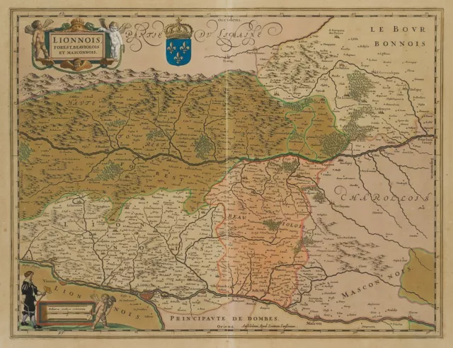
N. TASSIN (18.Jhd), Karte der Rhône-Alpen und Burgund, 1633, KSt. Klassizismus
EUR 250,00 Sofort-Kaufen 27d 16h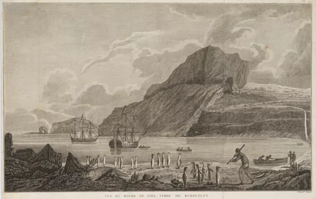
Unbekannt (18.Jhd), Vue du Havre de Noel, Terre de Kerguelen, KSt. Romantik
EUR 190,00 Sofort-Kaufen 10d 21h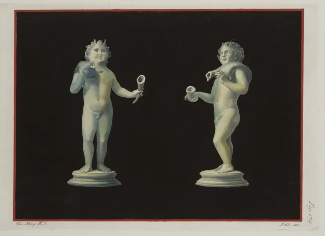
Junger Bacchant in 2 Ansichten, KSt. Klassizismus Mythologie Unbekannt (18.Jhd)
EUR 170,00 Sofort-Kaufen 6d 14h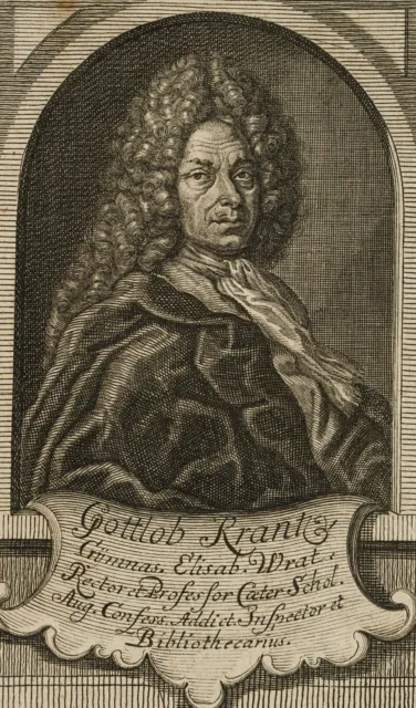
Historiker Gottlob Kranz (1660-1733), KSt. Barock 1700-1749 Unbekannt (18.Jhd)
EUR 50,00 Sofort-Kaufen 27d 17h
J. STENGLMAIR (18.Jhd), Belmire - Heimlicher Besuch, KSt. Klassizismus Mode
EUR 30,00 Sofort-Kaufen 17d 0h
Unbekannt (18.Jhd), Assignat von 10 Livres, 1792, KSt. Klassizismus Politik
EUR 50,00 Sofort-Kaufen 28d 22h
Votivbild, Marias unbefleckte Empfängnis, um 1800, KSt. Unbekannt (18.Jhd)
EUR 100,00 Sofort-Kaufen 16d 23h
Braunschweigisches Wolffenbüttelisches Wappen, um 1730, KSt. Unbekannt (18.Jhd)
EUR 150,00 Sofort-Kaufen 5d 20h
-antikes Wappen Herzogthum JÜLICH Sachsen - gerahmt - 18. Jhd.
EUR 145,00 Sofort-Kaufen 22d 15h
ARGENT (18.Jhd), Nonnen bei einer Gefangenen, 1793, KSt. Klassizismus Porträt
EUR 30,00 Sofort-Kaufen 15d 18h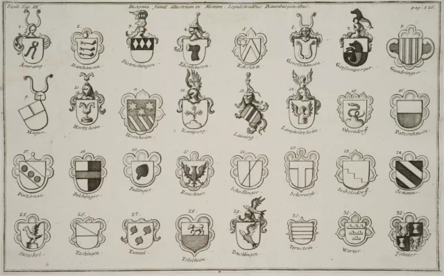
Wappen: Ortschaften und Familien, 1750, KSt. Gegenständlich Unbekannt (18.Jhd)
EUR 140,00 Sofort-Kaufen 7d 20h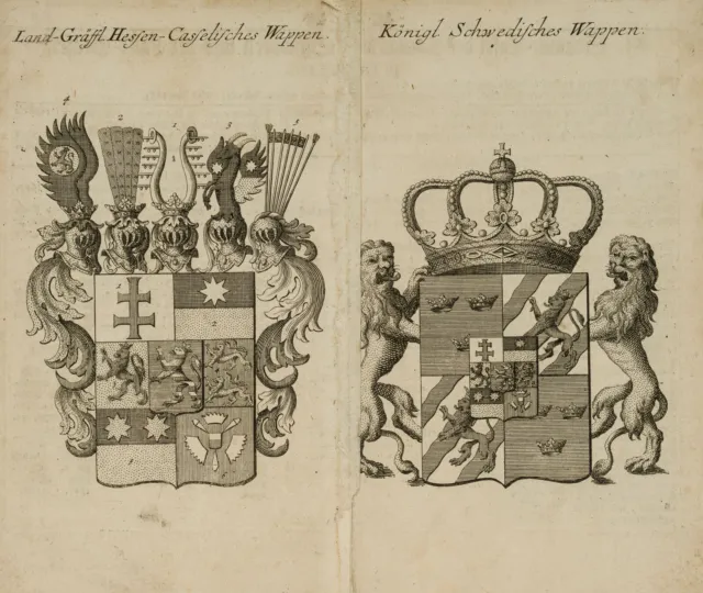
Hessen-Kassel / Königlich Schwedisches Wappen, um 1735, KSt. Unbekannt (18.Jhd)
EUR 150,00 Sofort-Kaufen 6d 14h
Herzöge zu Schleswig-Holstein-Gottorf, 1725, KSt. Barock Unbekannt (18.Jhd)
EUR 150,00 Sofort-Kaufen 6d 14h
1758 Sachsen Erzgebirge Grenzkolorierte Kupferstich-Landkarte
EUR 49,00 Sofort-Kaufen 13d 16h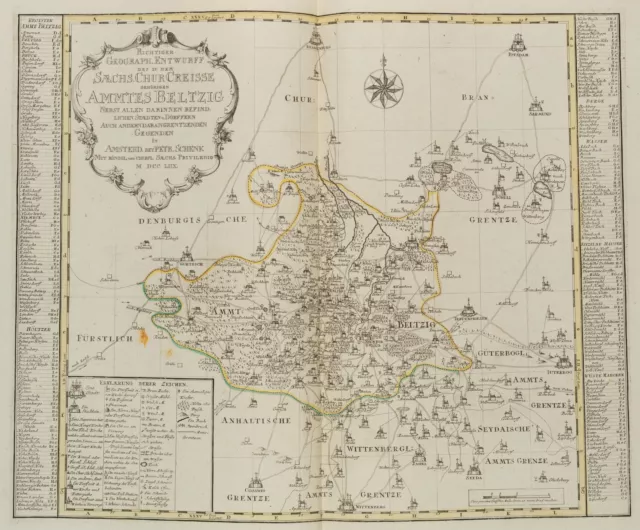
P. SCHENK (1660-1778), Landkarte Kurkreis Ammt Beltzig, 1760, Kupferstich
EUR 300,00 Sofort-Kaufen 19d 2h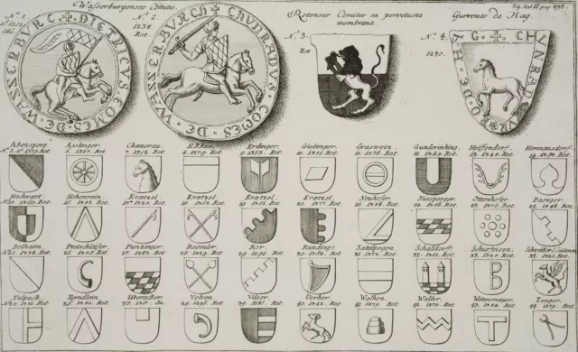
Wappen Adel und Orte, 1750, KSt. Gegenständlich Porträt Unbekannt (18.Jhd)
EUR 140,00 Sofort-Kaufen 17h 23m
KRÜGER (18.Jhd) nach NAEKE (*1786), Clavigo V. Aufzug, um 1820, KSt. Biedermeier
EUR 100,00 Sofort-Kaufen 21d 19h
